Home       About Us       Geospatial       Engineering      e-Publishing      Software     Outsourcing      Careers      Sitemap      Contact Us
 
  SERVICES  
     
  GEOSPATIAL  
  ENGINEERING  
  e-PUBLISHING  
  SOFTWARE  
     
  GEOSPATIAL  
     
  Remote Sensing  
  GIS  
  Photogrammetry  
  Marine  
 
GEOSPATIAL Remote Sensing | GIS | Photogrammetry | Marine


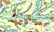
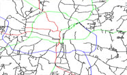
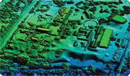
Graben is leading provider of Geospatial services derived from the high-resolution Satellite data, Aerial Photographs, etc. We offer services across the Geospatial value chain ranging from Mapping to Application development in the fields of Remote Sensing, Land Surveying, Public Utility Management, Natural Resource Management, Agriculture, Photogrammetry, Business, Urban Planning, Emergency Management, Navigation, etc,. Our expanding worldwide client base is a result of our commitment to our clients by providing innovative solutions and the highest quality service.


REMOTE SENSING
GIS


PHOTOGRAMMETRY
MARINE


  QUALITY  
     
   
  ISO 9001:2008 COMPANY  
     
  INDUSTRY  
     
  Oil and gas  
  Government  
  Utilities  
  Infrastructure  
  Transportation  
  Geology & Mining  
  Archeology  
  Hydrography  
  Retail  
  Defense  
 
 
Home | About Us | Geospatial | Engineering | e-Publishing | Software | Outsourcing | Careers | Sitemap | Contact Us
copyright © Graben Technologies Limited